
Type of territory: rear
Population: 3,200
Area of municipality: 102.956 km2
Priority project:
There are no projects
Additional peculiarities of the municipality:
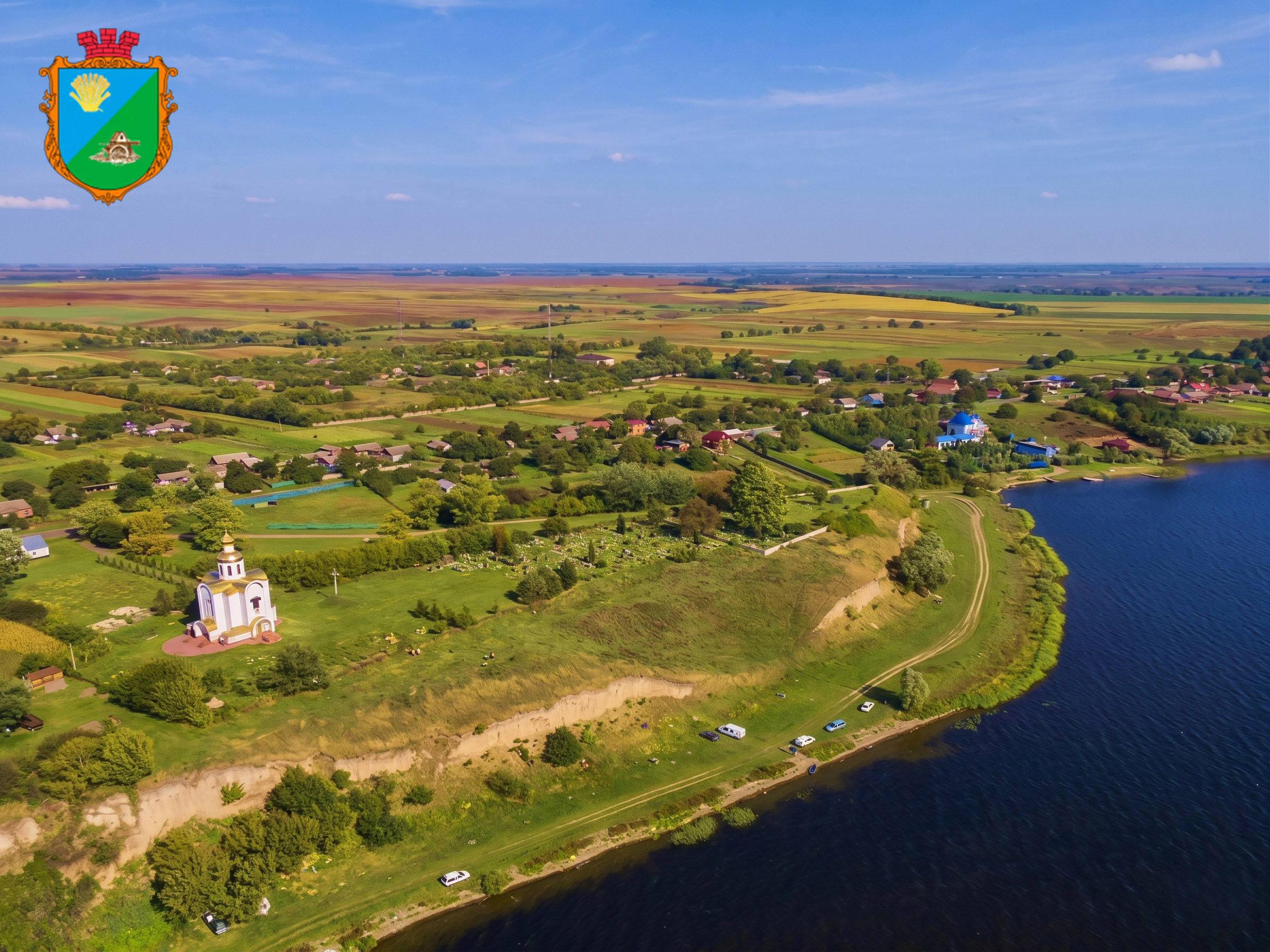
Boremel municipality has a highly unique geological and natural profile. The municipality’s landscape is heavily defined by Upper Cretaceous formations, particularly writing chalk and marl, which feed the local groundwater networks and include high-quality flint deposits that historically supported prehistoric tool-making workshops.
The territory is covered by a significant layer of loess and loess-like loams, which preserve multiple horizons of fossil soils, notably showcased at the Novyi Tik quarry — a geological site of European significance. The distinct alluvial deposits along the Styr River terraces in the areas of Boremel and Naberezhne have officially been designated as geological monuments of local importance. In addition to these rich mineral and scientific resources, the municipality features extensive floodplain alluvial networks, characterised by valuable peat-bog deposits and peatlands near the settlements of Berestechko, Maleve, and Smykiv.
Contact: Mr Victor Korin, Mayor, boremel.otg@gmail.com